 If you’re a serious trapper and you’re not using aerial imagery to scout trapping areas, you might be missing out on a great opportunity. We live in an incredible time, and technology has been massively beneficial in all aspects of our lives.
One of the greatest resources we have available to scout trapping areas is Google Earth, which provides aerial imagery of the entire globe, available for free to anyone with an internet connection. We can use this imagery to access a massive abundance of data on furbearer habitat. In many cases, we have the same type of information our parents and grandparents could only get from flying over their trapping country in an airplane. And better yet, the information is virtually free and we can access it from the comfort of home.
Since you’re reading this, I’ll assume you know Google. Most people find this site through a Google search, but may not realize that the company does far more than produce search results. Google Earth is one of their many ventures. It’s a free program you download to your computer to access aerial and satellite imagery.
You can download Google Earth here: Google Earth Download
You can also download the program as a smartphone app.
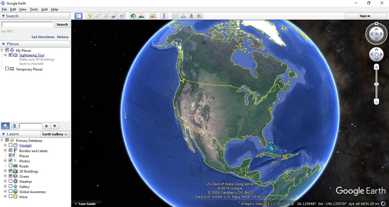
Upon opening the program, the image of a globe pops up, surrounded by a console with a search bar and numerous tools.
Now it’s time to check out your special area of the globe. The quickest way to get there is to use the search bar and type in the name of your town and state. Once Google recognizes it, the map will automatically zoom into the area. Then, you can use the controls on the upper right to zoom in and out, and use your mouse to pan to different areas of the map.
Here’s what it looked like when I searched for my home town:
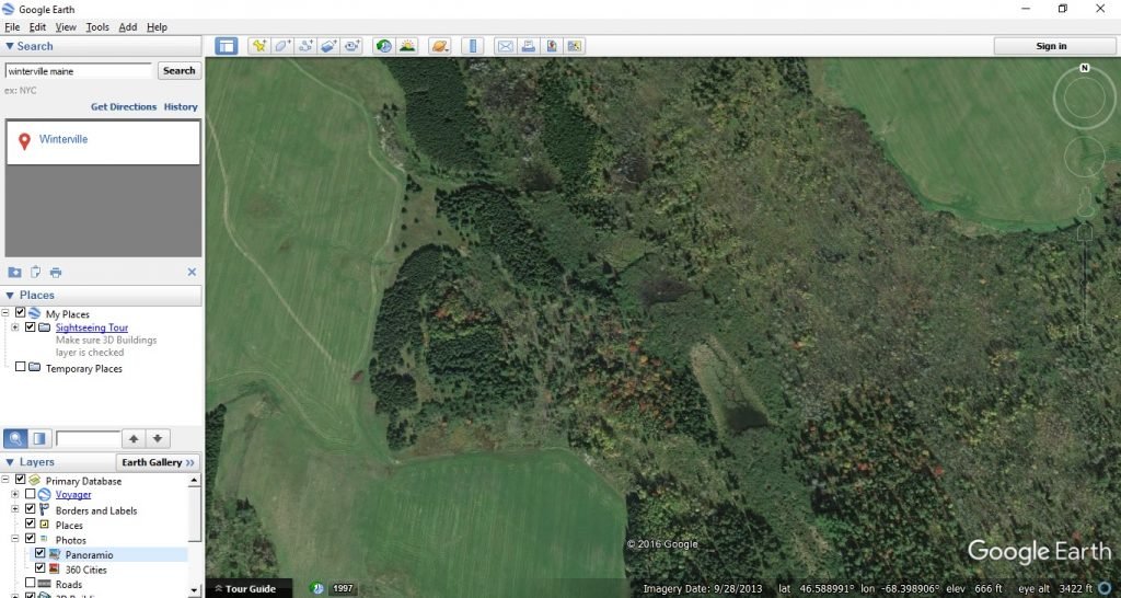
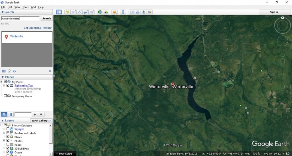 You notice right off that the most noticeable features seen from the air are roads and water. Agricultural areas are also highly visible. Incidentally, farm fields, roads and water are some of the dominant features we look for as trappers to determine where to set up. Here’s a zoomed in view:
In this image we notice some agricultural ground that should be a good place for coyote and fox. Some farm field roads are evident, as well as skidder trails where wood was harvested years ago. In addition, we notice several small beaver ponds.
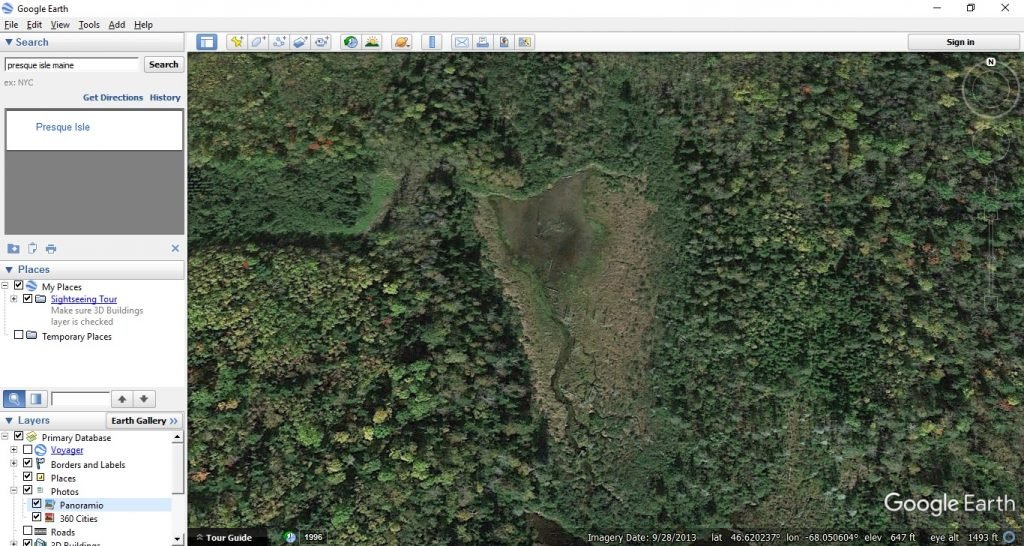
Beaver dams and ponds are highly visible from the air, and finding these can save a great deal of scouting time and effort on the ground. If you have good images, you can tell whether the beaver flowages are fresh with lots of activity, or abandoned. Here’s an example:
This image shows an abandoned beaver dam. It isn’t holding much water anymore, and it’s not a spot you’d want to target for beaver. It may be a good area to trap traveling otter or mink.
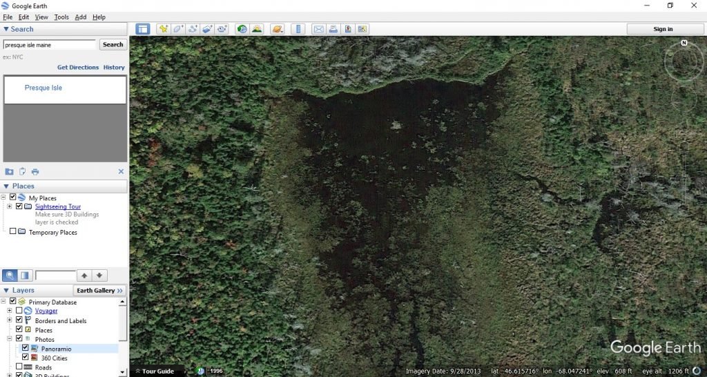 Nearby, we see an active beaver dam that’s holding water. Though the resolution isn’t great, it looks like there might be a beaver house near the center of the pond. This is a place we’d target for our beaver trapline.
There are a few drawbacks to using aerial imagery for trapline scouting. Google Earth images are not always up to date. The company only updates images every 1-3 years on average, and this varies substantially by area. Areas that get high use are updated more frequently, and remote, low use areas won’t get many updates. That can make things very difficult in things like beaver trapping, where flowages often only last for a couple of years and are quickly abandoned. In this case, the imagery will be much more valuable the first year or two immediately following the update. The “Imagery Date” shown in the bottom center of the Google Earth screen is the date of the imagery you’re viewing. (Hint: you can also look at older images by clicking on the clock image on the upper toolbar).
The quality of the imagery can vary substantially based on your area as well. It costs a lot of money to get high quality images – the best ones are obtained via flights, and the worst are satellite images taken from space. Industrial and agricultural areas have crisp, high detailed images that give you a true bird’s eye view of the ground. Remote unpopulated country (like interior Alaska) will have grainy images that won’t be very useful for detailed scouting.
The images we can access from Google Earth provide valuable information to help scout trapping areas. If you’re already doing this, you have an edge. If not, give it a try, it can’t hurt.
Leave a Reply